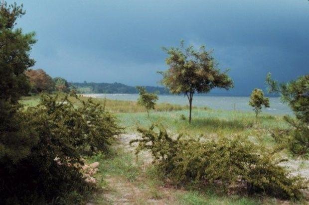
 When big storms impact the Bay, the Storm Central page from the Virginia Institute of Marine Science (VIMS) is a one-stop-shop for information on the coastal impact of hurricanes and nor'easters. During storm events, it has up-to-the-minute data streams, videos, and photos. But it's also a good source for understanding how these big storms impact the Bay, especially the sourthern regions.
Here you can click on links to monitor, visualize, and predict the magnitude and impact of coastal flooding at 10 stations in the lower Bay - all in near real time. Other links take you to web cams that show water levels in the VIMS boat basin. Another section gives information about long-term sea level rise in the Bay and the possibility of coastal flooding during storms. Their YouTube link allows you to upload your storm-related videos directly to the VIMS website, part of an initiative to create a central video clearinghouse of events affecting Chesapeake Bay.
VIMS's Storm Central page isn't called a one-sop-shop for nothing. It's loaded with more links than we can highlight here. Take a gander.
Friday, May 24, 2013 - 09:45
 When big storms impact the Bay, the Storm Central page from the Virginia Institute of Marine Science (VIMS) is a one-stop-shop for information on the coastal impact of hurricanes and nor'easters. During storm events, it has up-to-the-minute data streams, videos, and photos. But it's also a good source for understanding how these big storms impact the Bay, especially the sourthern regions.
Here you can click on links to monitor, visualize, and predict the magnitude and impact of coastal flooding at 10 stations in the lower Bay - all in near real time. Other links take you to web cams that show water levels in the VIMS boat basin. Another section gives information about long-term sea level rise in the Bay and the possibility of coastal flooding during storms. Their YouTube link allows you to upload your storm-related videos directly to the VIMS website, part of an initiative to create a central video clearinghouse of events affecting Chesapeake Bay.
VIMS's Storm Central page isn't called a one-sop-shop for nothing. It's loaded with more links than we can highlight here. Take a gander.