No, the Rappahannock doesn’t get shallow and disappear above Urbanna, or even Tappahannock. This big river drains a large watershed beginning on the eastern slopes of Virginia’s Blue Ridge Mountains. It flows through rolling piedmont land to Fredericksburg, the head of navigation where the riverbed reaches sea level.
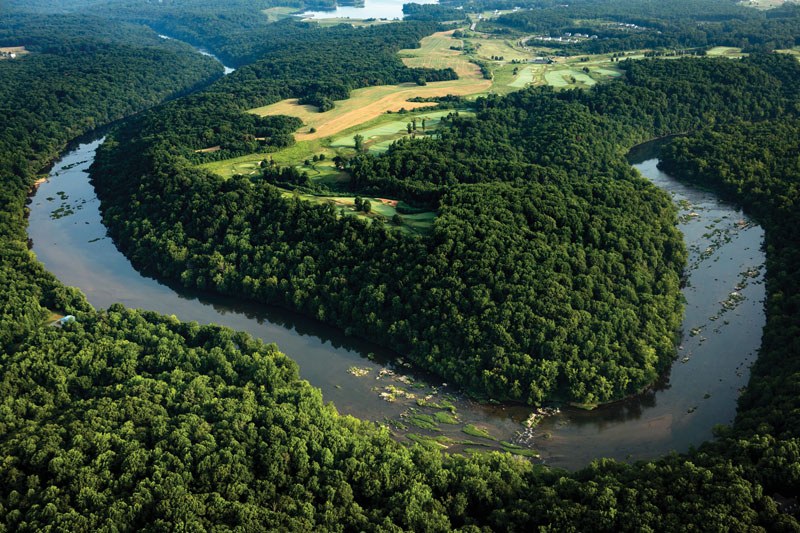
The Rappahannock’s tidal section, some 80 miles long, slides past old colonial port towns like Port Royal and Leedstown, in addition to Tappahannock and Urbanna. This is one of the Chesapeake’s most scenic tidal rivers, with lovely creeks to explore, tall sandstone bluffs, and broad marshes. It’s an important spawning river for fish such as striped bass (rockfish), American shad, river herring, and Atlantic sturgeon, as well as home for migratory waterfowl, great blue herons, ospreys, and bald eagles (lots of eagles).
The section between Tappahannock and Fredericksburg is one of the most important roosting and nesting areas for bald eagles on the entire Atlantic coast of the United States. Significant lands along this part of the river are now protected by the Rappahannock River Valley National Wildlife Refuge.
Captain John Smith on the Rappahannock
Captain John Smith and his crew visited the mouth of the Rappahannock in mid-August of 1608. He documented much of what happened in his journals. Despite the August heat, he and his crew sailed and rowed their Discovery Barge up to the river’s head of navigation and back down, encountering multiple adventures along the way.
The best known of these adventures came some 50 miles upriver. They rowed into a long, curving, narrow reach with the tall, sandstone bluffs of Fones Cliffs on the north side and a large marsh on the south side. In the early 17th century, the Rappahannock Tribe held three towns on these cliffs, named Pissacoack, Matchopeak, and Wecuppom.
Wishing to avoid arrows from Rappahannock archers who might be stationed on the heights, Smith steered along the south bank. There, more warriors hiding behind low tidebushes in the marsh jumped up, screaming and shooting. Smith was prepared, though, with shields placed along his boat’s topsides. The arrows hit the shields and fell harmlessly into the river as the boat’s crew continued rowing. Thinking the English were in cowardly retreat, the Rappahannock warriors jeered loudly. That evening, Smith and his crew stayed with the friendly Pissaseck people several miles upriver at the location that would in time become Leedstown.
Another 30 miles of meandering channel brought the English to the Rappahannock’s head of navigation, where they dealt successfully with an ambush from another tribe.
Somehow, despite all of this action, Captain Smith found time to write enough notes to produce an extraordinarily accurate picture of the river in his 1612 map. That map brought English colonists to settle along its banks 40 years later, and what you see on your visit(s) now has developed in the succeeding four centuries.
Exploring the Rappahannock Today
Over that time, the tidal Rappahannock has attracted farming families to till large tracts of land. The river served as the highway for local, regional, and even international shipping, with farm landings on the outsides of curves all the way up to Fredericksburg. Urbanna, Tappahannock, Port Royal, and Fredericksburg all built customs houses to act as ports of entry for international shipping. From the 1850s until the 1930s, steamboats and sailing vessels, especially schooners, rams, pungies, and bugeyes, connected the river communities to Baltimore and Norfolk. Commercial fishing became another vital part of the region’s economy.
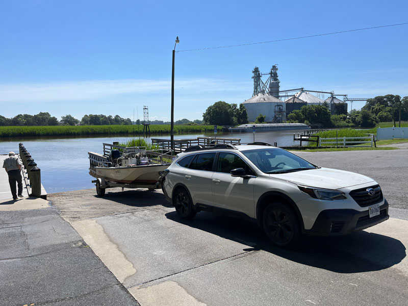
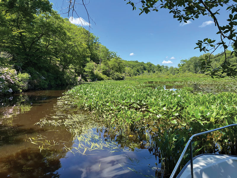
For modern-day explorers following Captain John Smith’s wake, the Rappahannock offers plenty of still-natural views, especially above Tappahannock, where the river narrows. The channel is quite deep and buoyed, but it winds sharply; the currents are swift, and marina facilities are non-existent. Though we have prowled this upper part of the river with friends in large trawlers, our preference is for close exploration (Captain Smith called it discovery), so we prefer paddlecraft and outboard skiffs. There’s lots of water for discovery, but one issue of PropTalk can’t hold it all. Here are a few of our favorites. (For maps and directions, visit the Virginia DWR website.)
Hoskins Creek (two-way, 3-6 miles)
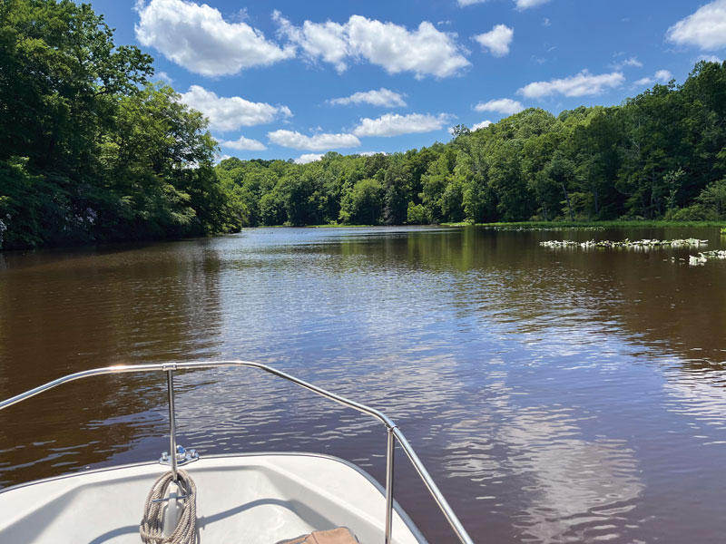
Many people today know Hoskins Creek as a little waterway they drive over entering Tappahannock from the east and south on busy Route 17. Few of them realize there’s a free Department of Wildlife Resources (DWR) boat landing just off the highway on Dock Street, or that Hoskins is a rich, powerful waterway well worth exploring. It rises from high, forested land deep inside Virginia’s Middle Peninsula.
The creek’s watershed would have been valuable to the Rappahannock Tribe as hunting and fishing territory. Spring runs of yellow (“ring”) perch, white (“stiffback”) perch, river herring, and hickory shad would have been welcome after winter, and they foraged tuckahoe, wild rice, and other edible plants in its tidal fresh marshes.
In 1645, Bartholomew Hoskins—navigating with Captain Smith’s 1612 map—came upriver and patented land around the creek, where he farmed tobacco. Fifteen years later, Captain Richard Hobbs patented land just upriver and established a wharf for export. It became “Hobbs His Hole” and somewhat later, Tappahannock. The village spread to Hoskins Creek as it expanded, especially during the steamboat era. Today, corn and soybeans from the large farms along the river go to Perdue’s grain terminal on the creek just below the bridge for shipping by tug and barge across the Chesapeake to a company feed mill in Salisbury, MD. Be careful around the terminal’s dock if you explore down the creek to its mouth and the open river. For more on Hoskins Creek, read this short article.
Fones Cliffs (two-way, 2-4 miles)
Fones Cliffs is a spectacular four-mile-long series of sandstone bluffs between Tappahannock and Leedstown. Today, you can explore this 400-plus-year-old battlefield and figure out within about 50 yards where the skirmish occurred. Smith and his crew found a much friendlier reception several miles upriver at the chief’s town of Pissaseck, which became Leedstown later that century.
Late in the 17th century, English colonists took possession of Fones Cliffs, and the property passed through multiple owners through the centuries. In 2009, a messy struggle began with absent landowners attempting to develop the cliffs into a luxury golf resort whose plans never fit the ecological realities. At the same time, ornithological surveys showed Fones Cliffs to be valuable habitat for bald eagles and other wildlife.
Long story short, the resort encountered regulatory difficulties, fierce opposition from the conservation community, and financial problems that resulted in acquisition of one section of the Cliffs by the Rappahannock River Valley National Wildlife Refuge and the restoration of the rest to the ownership of the Rappahannock Tribe. Today, the Refuge and the Tribe work in close partnership for stewardship of them.
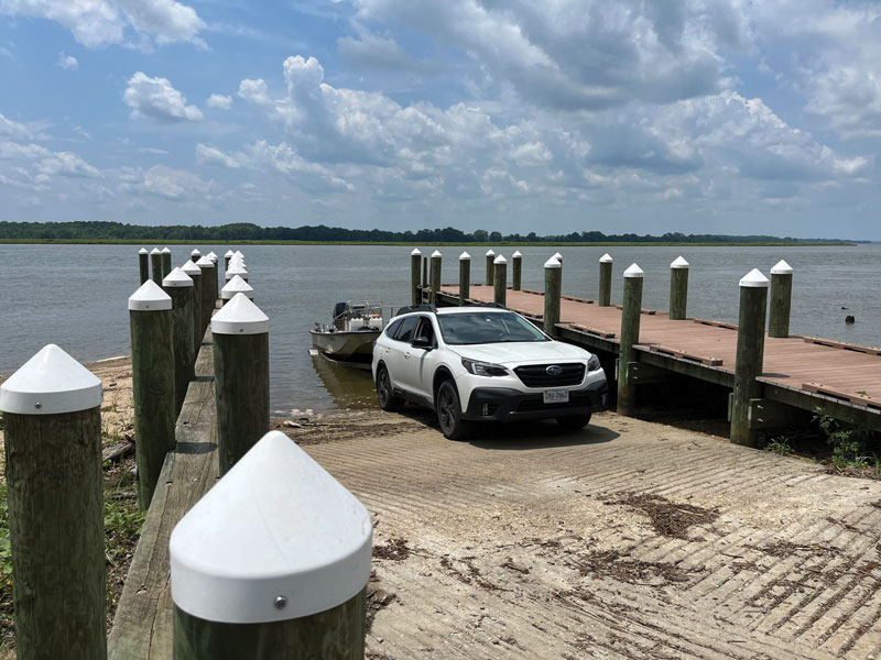
Carter’s Wharf, another DWR launch ramp, lies at the upper end of the cliffs, between Matchopeak and Wecuppom. This is the place to launch a canoe, kayak, paddleboard, or skiff to explore the battlefield, but do not attempt to land and climb the cliffs. Also, be mindful of wind and current here. For more details on exploring the Rappahannock around Fones Cliffs, read this short article.
Fones Cliffs-Horsehead Bluffs (two-way, 35 miles)
If you’re travelling in a skiff or a runabout, launch at Carter’s Wharf and travel the river between Horsehead Bluffs and Fones Cliffs. This makes a good day trip, travelling at 15-20 mph and stopping to admire spectacular views, take photographs, or watch eagles show off. You’ll pass several broad marshes on the insides of meander curves, beloved over the centuries by Native people for foraging and trapping and more recently for their value as waterfowl habitat.
Above Fones Cliffs on the south bank, where the river bends sharply to the north, is Layton’s Landing, site of a colonial wharf and ferry. A mile beyond, Pissaseck/Leedstown lies on the north bank opposite the Otterburn Marsh, a good point to think about the Leedstown Resolves of 1766 and the role they played in early stirrings of American independence. Farther on the south bank, you’ll find Saunders Wharf, a re-creation of a steamboat wharf, office, and warehouse harking back to the late 19th and early 20th centuries. From Saunders, there’s a straight reach of several miles to the Horsehead Cliffs, conserved by the Virginia Chapter of The Nature Conservancy as the Voorhees Nature Preserve. Like Fones Cliffs, Horsehead Cliffs offer valuable eagle habitat.
September is a lovely month to visit this part of the Rappahannock. The marshes are loaded with seeds from the August blooms, and the first migratory birds are arriving to feast on them, while autumn’s cooler weather makes days on the water more comfortable for us. If you’re also on the river in late October, try to end your day running downriver toward Fones Cliffs in late afternoon. The glowing colors of the riverside maple, sycamore, gum, and ash trees will be spectacular with the afternoon light behind you in the long reach from Laytons Landing to Fones Cliffs, amplified by sunlight reflecting off the cliffs’ sandstone.
The Rappahannock River Today
Today, the Rappahannock offers a great combination of “Captain John Smith Views.” For more sections to visit, check out the online Boater’s Guide to the Captain John Smith National Historic Trail and Virginia Water Trails. Remember, though, that facilities are sparse. Expect to do some homework and exercise prudent seamanship. That modest effort will reap rich rewards on the Rappahannock River.
To learn more, visit nps.gov/cajo and our article series from earlier this year: Exploring Captain John Smith's Chesapeake National Historic Trail.
By John Page Williams
Rappahannock Tribe Rematriates Additional Land at Fones Cliffs
On June 12, the Rappahannock Tribe rematriated 704 acres of historic land at Fones Cliffs on the Rappahannock River. Fones Cliffs is part of the ancestral homeland of the Rappahannock Tribe and has been designated by the National Audubon Society as an Important Bird Area with global significance for bald eagles and other migratory birds.
The acquisition of these 704 acres increases the Tribe’s stewardship of land at Fones Cliffs to a total of 2391 acres, including land the Tribe co-stewards through a partnership with the Rappahannock River Valley National Wildlife Refuge and land that has been regained between 2017 and 2026, totaling 2139 acres. The newly acquired land, mostly comprised of forest and deep ravines, was purchased from the Chesapeake Conservancy with support from federal funding, the Virginia Land Conservation Foundation, and The Conservation Alliance.
The rematriated land is protected in perpetuity through conservation easements held by the U.S. Fish and Wildlife Service, with the Tribe serving as co-steward, incorporating traditional ecological knowledge. Two parcels have easement exceptions totaling approximately 38 acres, allowing the Tribe to build structures for tourism and tribal use.
Fones Cliffs, a four-mile stretch of land, rises 100 feet above the Rappahannock River Valley. For generations, this was home to the Rappahannock people and three of their 14 historic towns: Pissacoack, Matchopick, and Wecuppom. The high ground of the cliffs provided expansive views up and down the river and served as a place of protection. In the summer of 1608, when Captain John Smith mapped the Rappahannock River, the Tribe used the cliffs to their advantage to defend their homeland against English invasion.
By the 1650s, the Tribe’s connection to the cliffs was severed. Settler colonists claimed the land, without payment, destroying tribal towns and forcing the Rappahannock people to abandon their ancestral homeland on the Northern Neck. The Tribe relocated to their hunting grounds on the Middle Peninsula, along the ridge between the Rappahannock and Mattaponi Rivers, where the Tribe is headquartered today.
Chief Anne Richardson said, “For millennia, the power of this place has shaped tribal identity and connected the people to the land and to the river that bears our name. It is very rewarding to be able to restore the lands of our ancestors to our citizens of today and for future generations.”
Learn more at chesapeakeconservancy.org.