Did you know that as a recreational boater you may submit comments or discrepancy reports to the National Oceanic and Atmospheric Administration’s (NOAA) Office of Coast Survey? NOAA welcomes them, and now with a recently released system, it’s easier than ever before.
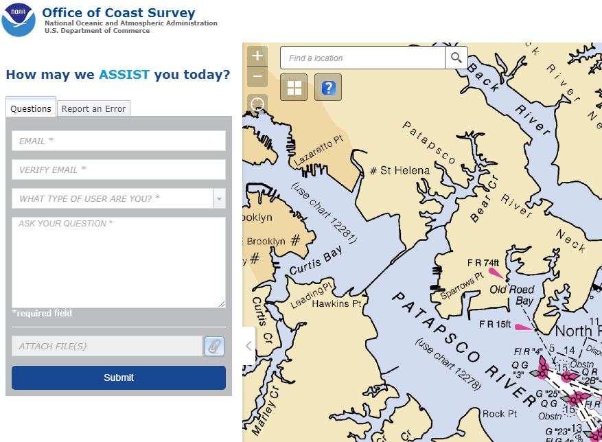
Through a new tool called ASSIST, boaters may submit questions and report nautical chart errors to the Office of Coast Survey, which is the nation’s nautical chart maker. ASSIST is a mobile-friendly design with user-friendly interface. Customers may access the system conveniently from any device. New features include the ability to: tag your submission on a NOAA chart, map, or satellite imagery; enter reports from a cell phone or other mobile device; comment or report an error using a single form.
Since 2008, Coast Survey has accepted comments and maintained them in an Inquiry and Discrepancy Management System (DMS) database. Over the last 20 years nearly 20,000 comments, inquiries, and discrepancy reports have been collected and maintained with DMS. The ASSIST system will replace DMS and streamline the internal Coast Survey workflow, to allow faster, more efficient responses to customers. Enter your comment on ASSIST by clicking to nauticalcharts.noaa.gov/customer-service/assist.
President Thomas Jefferson created the U.S. Coast Survey in 1807 to provide nautical charts that would help with safe shipping, national defense, and maritime boundaries. Today the Office of Coast Survey is responsible for upgrading charts, surveying the seafloor, responding to maritime emergencies, and searching for underwater obstructions that pose a danger to navigation. n