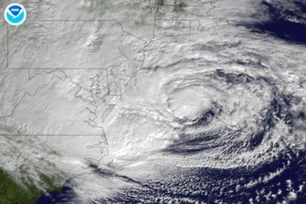
 And I include myself in that category. I just found this very cool animation of the entire 2012 hurricane season, condensed to 4 1/2 minutes, compliments of our National Oceanic and Atmospheric Administration. We had a busy year and all 19 storms fly by in just a few minutes here, viewed safely from space via NOAA's system of GOES weather satellites. It also reinforces the relative size of Sandy (at about 3:30) and the reach and intensity of these named storms. While watching the swirls you can also see why most of our weather in North America moves west to east and the endless march of fronts across the country.
Thursday, November 29, 2012 - 21:50
 And I include myself in that category. I just found this very cool animation of the entire 2012 hurricane season, condensed to 4 1/2 minutes, compliments of our National Oceanic and Atmospheric Administration. We had a busy year and all 19 storms fly by in just a few minutes here, viewed safely from space via NOAA's system of GOES weather satellites. It also reinforces the relative size of Sandy (at about 3:30) and the reach and intensity of these named storms. While watching the swirls you can also see why most of our weather in North America moves west to east and the endless march of fronts across the country.